|
|
My partners for this day were my friends Rie and Tomomi. Tomomi had arrived from Japan 2 days earlier but was eager to try out a mountain. Although this mountain was rated as easy in the Scrambles guidebook, I was well aware of the walking distance it involved. The map showed a distance of 9.7km to Harvey Pass along with an additional 3km to the summit. That meant a total distance of around 24km with a height gain of 1500m ! Not exactly a mountain you want to do on a short weekday afternoon... The hike from the trailhead on the TransCanada highway to Lake Bourgeau went by a lot quicker than I had anticipated. Due to our brisk pace, we were able to cover the 9.1km in approximately 2 hrs. The lake itself looked dismal and was surrounded by clouds of mosquitos so we quickly made our way towards Harvey Pass.
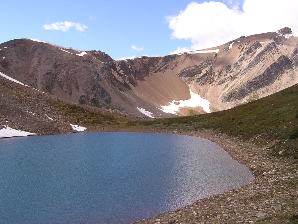
The tarn to the left was located within minutes of Harvey Pass.
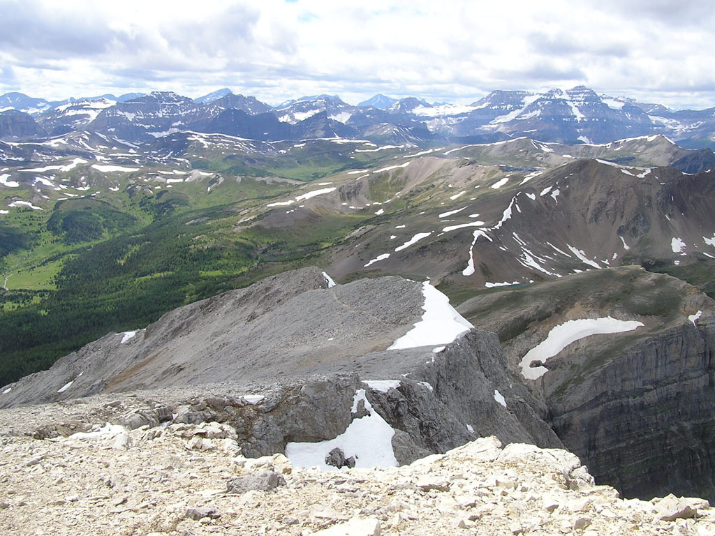
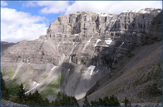
After reaching Harvey Pass at an elevation of 2700m, we finally stepped onto the slopes of Mt. Bourgeau. The trail more or less dissapeared beyond this point but that was fine since the way up was pretty obvious. The terrain consisted of packed rock and was almost scree free-right to the summit. The image to the left is that of Harrvey pass with Mt. Bourgeau in the distance. The image to the right shows you some of the typical terrain we encountered to the summit.
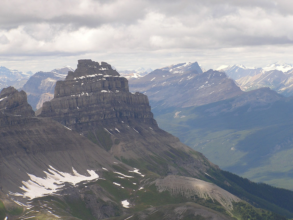
After a total of around 5.5 hrs, we finally arrived at the summit ... and were a little dissapointed. A large building complete with antennas, propane tanks and solar cells shared the summit with us and took away the feeling of remoteness. The summit register at the top was one of the new Centennial Registers which was composed of a cheap water bottle which had already showed signs of wear. In it was a Centennial notebook along with a countless number of Canadian Flag pins. The image on the left shows you the trail we took to the summit. Pilot mountain dominates the picture on the right. Don't be fooled, this was taken with a zoom lens. Pilot is actually quite a distance away.
The hike back to the car was uneventful but it seemed to go on forever. Maybe it was the fact that I was glancing at my altimeter watch every 3 minutes but the trail seemed to be at least 3x longer than on the way up. Tomomi was so exhausted on the way back that she actually lost her voice... which wasn't exactly a bad thing since the only thing out of her mouth was, "How much longer ?". |

 Mt.
Bourgeau is the prominent peak which can be seen directly in front of
you as you pass the town of Banff driving westbound along the Transcanada.
It's a mountain which can't be missed due to it's sheer size and profile
along the skyline. It's also a mountain which is easily climbed using
a popular hiking trail to Lake Bourgeau.
Mt.
Bourgeau is the prominent peak which can be seen directly in front of
you as you pass the town of Banff driving westbound along the Transcanada.
It's a mountain which can't be missed due to it's sheer size and profile
along the skyline. It's also a mountain which is easily climbed using
a popular hiking trail to Lake Bourgeau.