|
|
My partner for this day was my friend Rie.
This day was one of the strangest scrambling days I've had to date. It was also a little embarassing. I had originally planned on climbing Mt. Burstall since a friend of mine was flying in from Toronto that weekend. My friend had zero interest in climbing mountains but I figured I could squeeze in a quick climb by leaving early in the morning and being back in Calgary to meet my friend for brunch. Mt. Burstall was an ideal mountain for that. Unfortunately for him, his departure day coincided with a huge thunderstorm which caused major flooding in the city. Because of this, he was unable to make his flight and consequently cancelled his trip. This sudden cancellation gave me the option to climb a larger mountain so I decided the night before to climb Vermillion Peak in Kootenay National park. This was a good objective since it was close to Banff - where I'd pick up my partner Rie. After picking up Rie at 8am, I proceeded to drive up Hwy 93 where we parked my car and started up the gully towards the summit. Unfortunately for us, I didn't really research this peak that well and after 30 minutes of climbing, I started to wonder if we were in the proper gully. The gully was incredibly thick with vegetation and until that point, we were walking up a wide path of crushed weeds and bushes which was made by some HUGE animal. Realizing that this was grizzly bear territory, we decided to go back to the car. For some odd reason, I didn't think of driving further towards Radium (where the real gully was) and instead, we decided to climb some other mountain which didn't take much time. And yes, you guessed it... that mountain turned out to be Mt. Burstall !
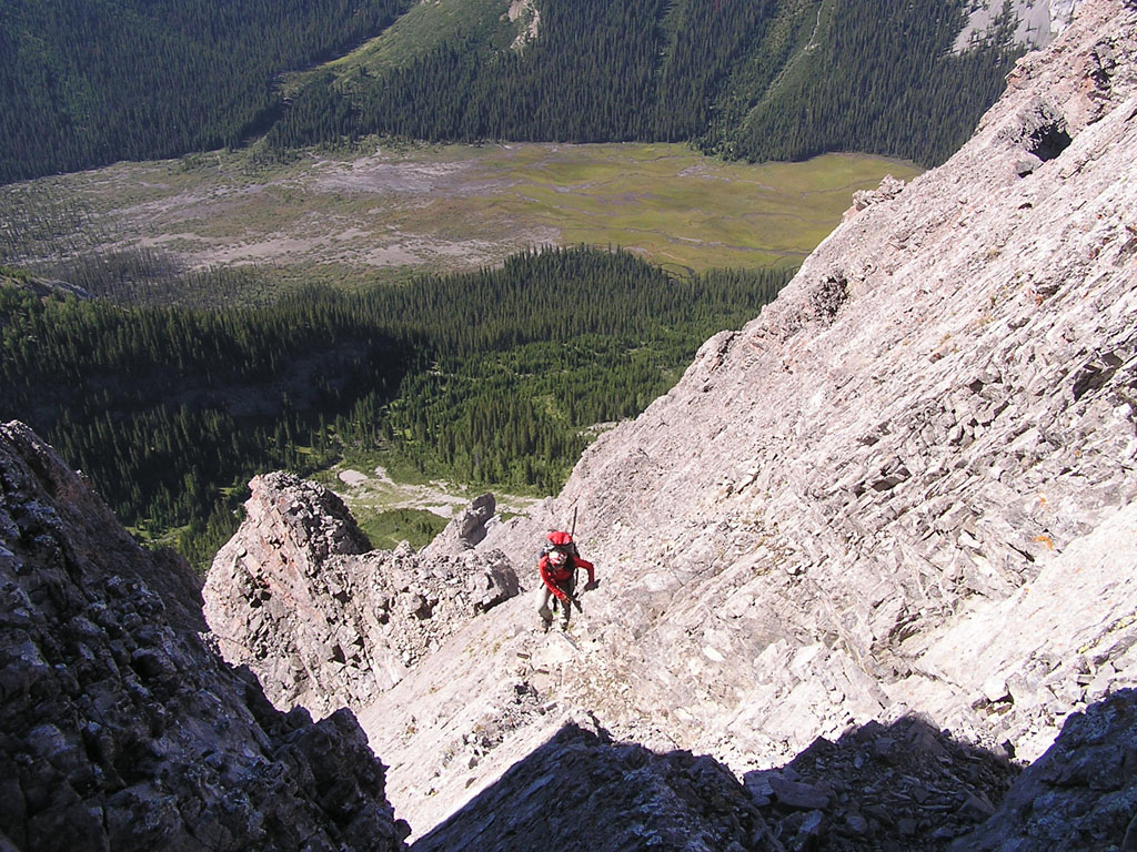
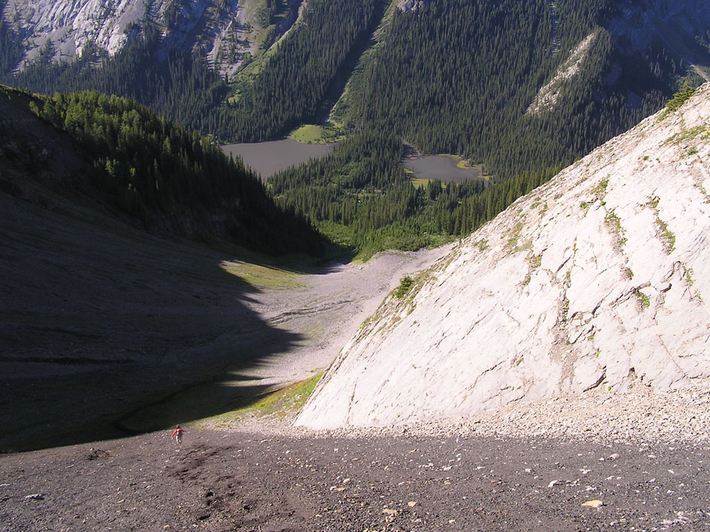
After about 40 minutes of hiking, we came across a small cairn on the left which led us along a faint trail through the forest which eventually led us to a wide gully. Although the trail eventually disappeared, the way up was pretty obvious. The image to the left shows you the way up to the col. The grassy slopes eventually gave way to slabs which then turned into loose scree. Rie tried to stick to the right and use some slabs for additional footing while I endured the loose treadmill slope in the center. Both options were a pain in the ass but weren't incredibly long.
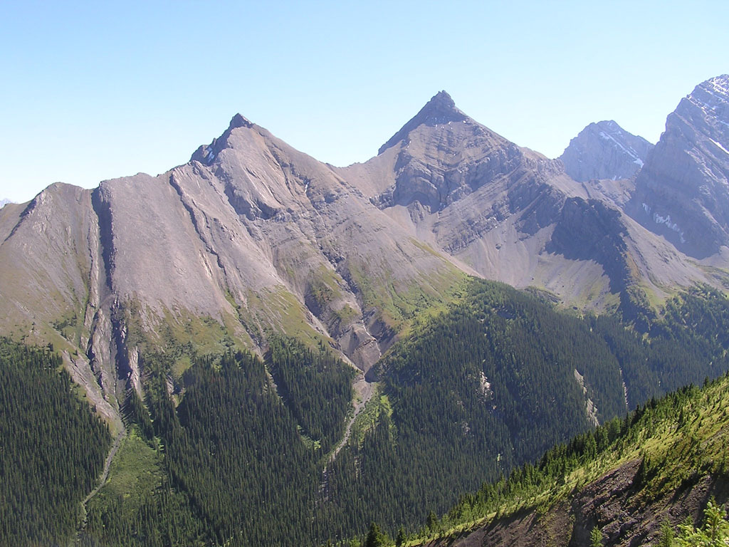
The image on the left was taken from the col looking towards the trail. Commonwealth peak is seen in the upper left. The image on the right was taken from the col looking south. The two pointy peaks are Mt. Cegfn on the left and Mt. Murray on the right.
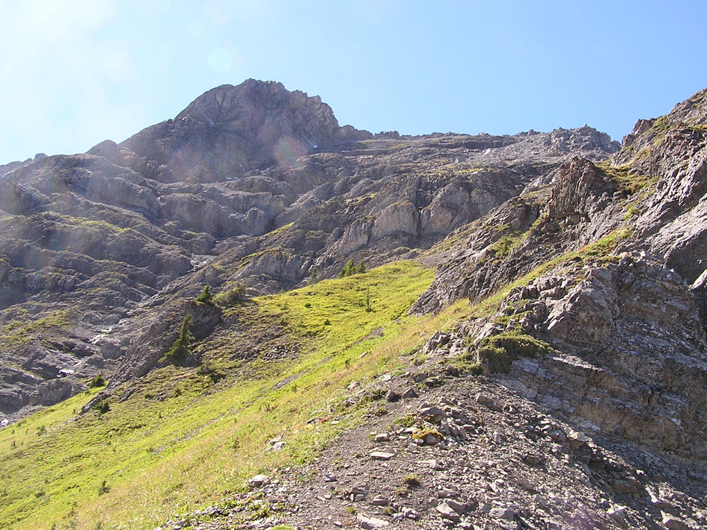
Here's
an image of the route up from the col. Once past
the crux, it was maybe 5 minutes to the summit.
After getting back to the car, we drove back to the town of Banff where we had some baby back ribs at Bumpers. Mt. Burstall wasn't exactly a mountain worthy of such a feast but we were just happy to have done something on this long day.
|

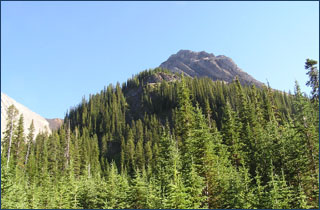 Mt.
Burstall is a small peak on the west side of the Smith Dorian highway
about halfway between Canmore and the Kananaskis Lakes. With only 890m
of elevation gain along with a popular approach trail, Mt. Bustall is
a perfect mountain for a short day out in the mountains. But with that
being said, the guidebook rates this mountain as a difficult scramble
due to some exposed climbing along its ridge.
Mt.
Burstall is a small peak on the west side of the Smith Dorian highway
about halfway between Canmore and the Kananaskis Lakes. With only 890m
of elevation gain along with a popular approach trail, Mt. Bustall is
a perfect mountain for a short day out in the mountains. But with that
being said, the guidebook rates this mountain as a difficult scramble
due to some exposed climbing along its ridge.