|
|
My partner for this day was Rie. Sadly enough, this would be our last scramble together before she went back to Ottawa.
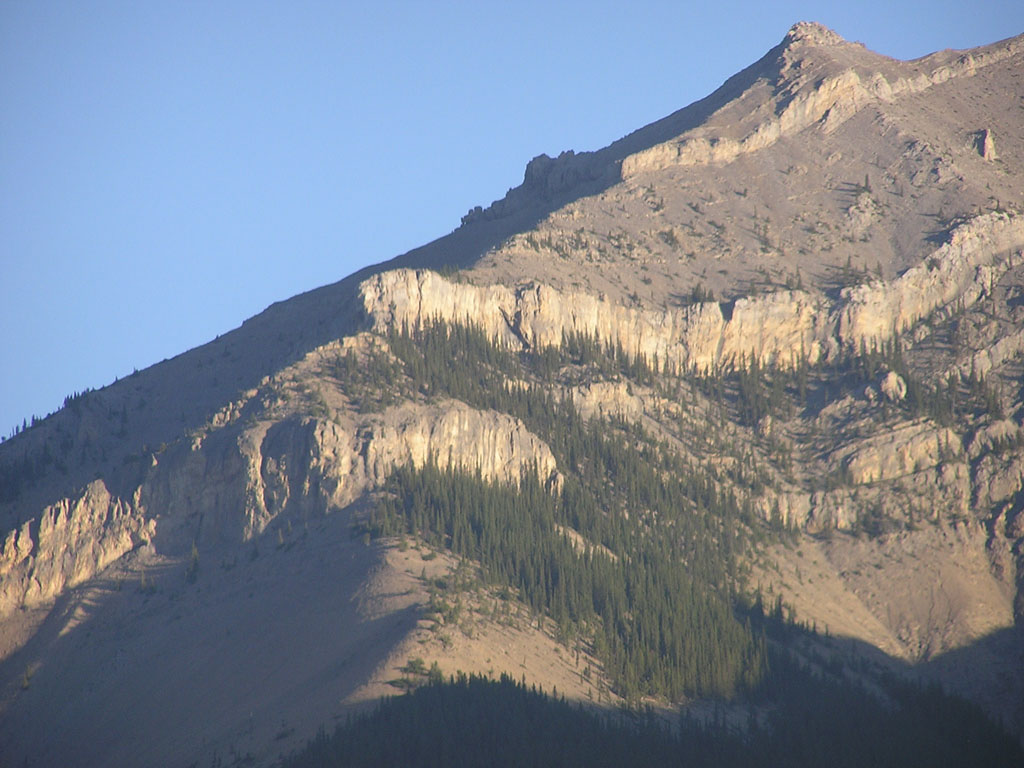
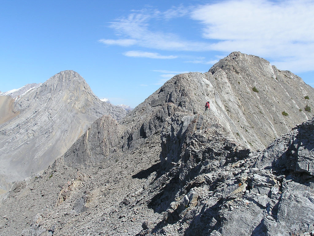
The trick to this scramble is to get around a pair of huge rockbands up on the ridge. The two rockbands can be seen at the center in the image to the left. A small patch of forest separates the two. After picking up Rie at 8am, we found ourselves at the trailhead 40 minutes later. The trailhead was basically the entrance to a huge gravel pit and I found myself reluctantly looking back at my poor car as we gained the ridge... hoping that it'd be in the same condition when we got back. The lack of popularity of this mountain was immediately apparent as we entered the forest above the Slocan plant. We didn't find one trace of a trail as we bushwhacked up the ridge. The trees weren't that bad but the steep slope along with several rockbands made progress a little slow. The first rockband was pretty big but we managed to scramble up it's face with ease. The remaining 2 or 3 rockbands were only a few metres in height and were easily bypassed or climbed.
After a quick
break we continued along the crest of the ridge until we reached the base
of the first rockband. The terrain up to this point consisted of hard
packed scree which wasn't too bad in terms of treadmilling. Once at the
rockface, we followed it to the right for about 200m until we reached
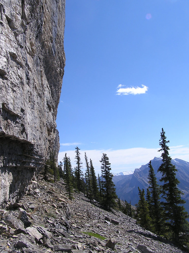
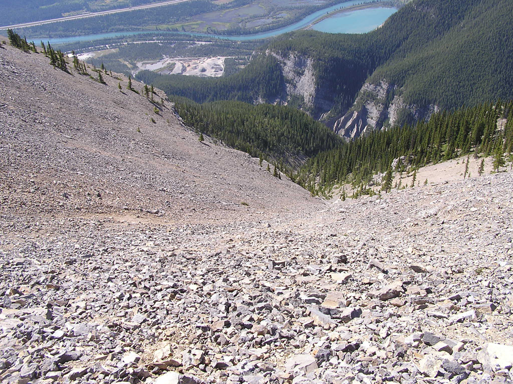
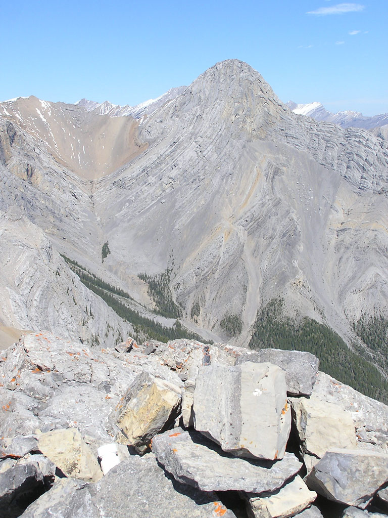
its end. Thankfully, this section was shorter than I thought and we were out of there in 15 minutes. Once we reached the second rockface, we went around to its right and followed its face right to the end. The image to the left is that of the second rockband on the way down. After reaching the end of the second rockband, I winced in agony as I looked up and saw a huge slope full of scree ! It wasn't that bad at first but the rocks became smaller and looser as I gained elevation. As you can see below, this slope was just full of rubble and loose rock !
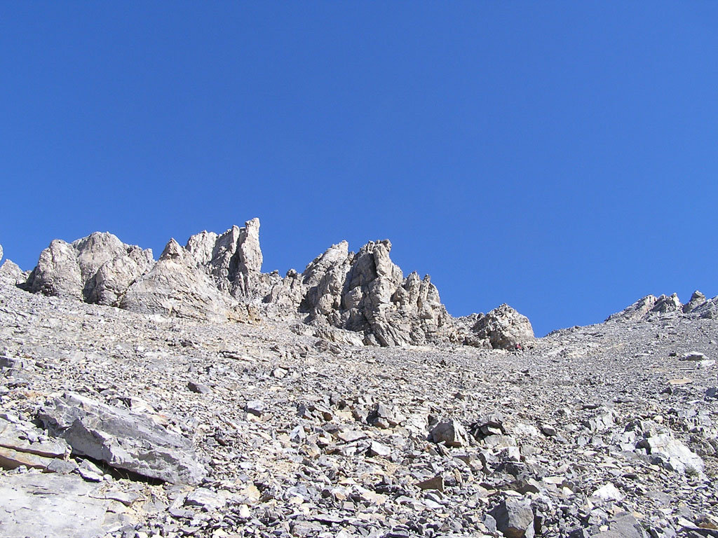
Rie decided to take a different route to my far left and quickly dissapeared above me. She must have been waiting at the spires on the ridge for around 15 minutes before I finally met up with her. At that point, she told me that the route she took was full of solid rock. Jeez... I was really glad that I had a partner who believed in sharing. :) Once on the ridge, it was a pleasant walk along it's crest until we reached the summit about 30 minutes later. The image on the left is Rie approaching the summit to the upper right. The image to the right is a view back along the ridge with Mt. Lougheed dominating the skyline.
Mt. Fable dominated the skyline to the south. The ridge from Gap to Fable was long but it was actually shorter than I first imagined. Can you spot the register on the bottom left of this image ? Rie and I ended up arriving at the summit in just over 3 hours and she almost seemed a little dissapointed at arriving at the summit so early. I noticed her licking her chops while she gazed at the ridge towards Fable but I decided not to continue on since the return from Fable would be painfully long. Not only was the return a 10km hike but it ended on Hwy 1A about 3 km from our car. If I had to do it all over again, I would have stashed a bicycle at the trailhead and done Fable and Gap in one shot. And I'd definitely climb that scree slope using that trail Rie had used. Since we had time on our hands, we descended to the open slopes just above the treeline and took a short nap. Or at least tried to... Rie seemed to have dozed away but I must have been lying on an ant hill since I was constantly being bitten. A small cairn at the treeline marked the start of a well worn trail which quickly took us down the ridge. Unfortunately, that trail eventually faded away as we encountered successively larger rockbands. By sticking to the right, we were able to avoid all of them as we finally burst out of the forest and back into civilization in the form of a concrete factory. We eventually drove into Banff and had a few pints of beer at an Irish pub before going to Suginoya's around the corner for some sushi, deep fried chicken wings, tempura and fried dumplings. We also split a bottle of red wine so we were both a little buzzed afterwards. Rie became a little weird as she insisted that we go climb Tunnel mountain after dinner. She seemed convinced that it'd be fun since we'd have trouble walking straight. WTF ?! Of course we never did attempt Tunnel mountain but I'll always remember Rie and her funny words every time I see that peak while driving through Banff. |

 Gap
peak is a mountain which sits high above Hwy 1A just west of Exshaw. Although
not as massive as Grotto Mountain to its west, it offers a short but interesting
scramble as well as an alternate start/finish to Mt. Fable to its north.
This peak is briefly mentioned in the Scrambles book and is considered
a moderate scramble.
Gap
peak is a mountain which sits high above Hwy 1A just west of Exshaw. Although
not as massive as Grotto Mountain to its west, it offers a short but interesting
scramble as well as an alternate start/finish to Mt. Fable to its north.
This peak is briefly mentioned in the Scrambles book and is considered
a moderate scramble.