|
|
My partner for this day was Jason. This was his very first scramble in the Rockies.
After failing my attempt of Mt. Victoria 2 days prior to this scramble, I was anxious to bag another peak right away... thinking that it'd help get over that dissapointing failure. Of course 2 failures in a row would be devastating so I decided to do something fairly easy. Grizzly peak was the perfect destination due to it's short approach and elevation gain. The fact that my legs were still a little sore only made that decision that much easier.
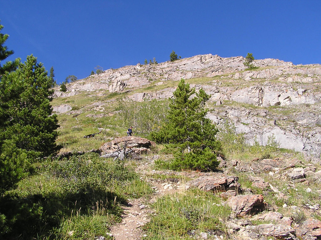
The trail provided some good footing but I found it to be fairly steep and relentless until we reached a small clearing about 400 above. I guess that's the price one pays for an almost non existent approach. Here's a
view upwards from the trailhead.
Prior to this climb, I was a little concerned about the lack of an obvious ascent route/trail since I assumed that this peak was unpopular. To my surprise, the opposite was true. Cairns and trails seem to pop up everywhere ! Talk about confusing...
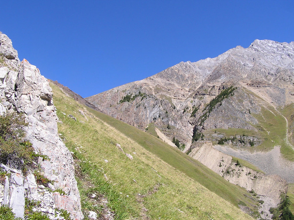
Here's a look at the trail as it contours left. After continuing on for about 30 minutes, a multitude of trails led upwards towards the col between Grizzly peak and Mt. Evan Thomas. We took the one which provided us with the most solid footing and pressed forward. Upon reaching the col, it was an easy 15 minute hike to the summit.
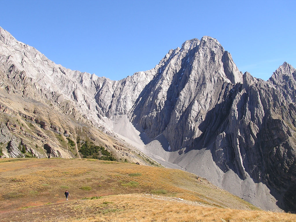
R: The final hike to the summit.
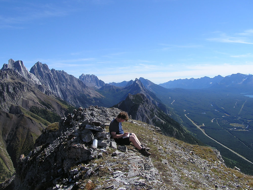
Thanks to the great weather we had that day, the views were simply amazing. I couldn't remember seeing such a great view with so little effort !
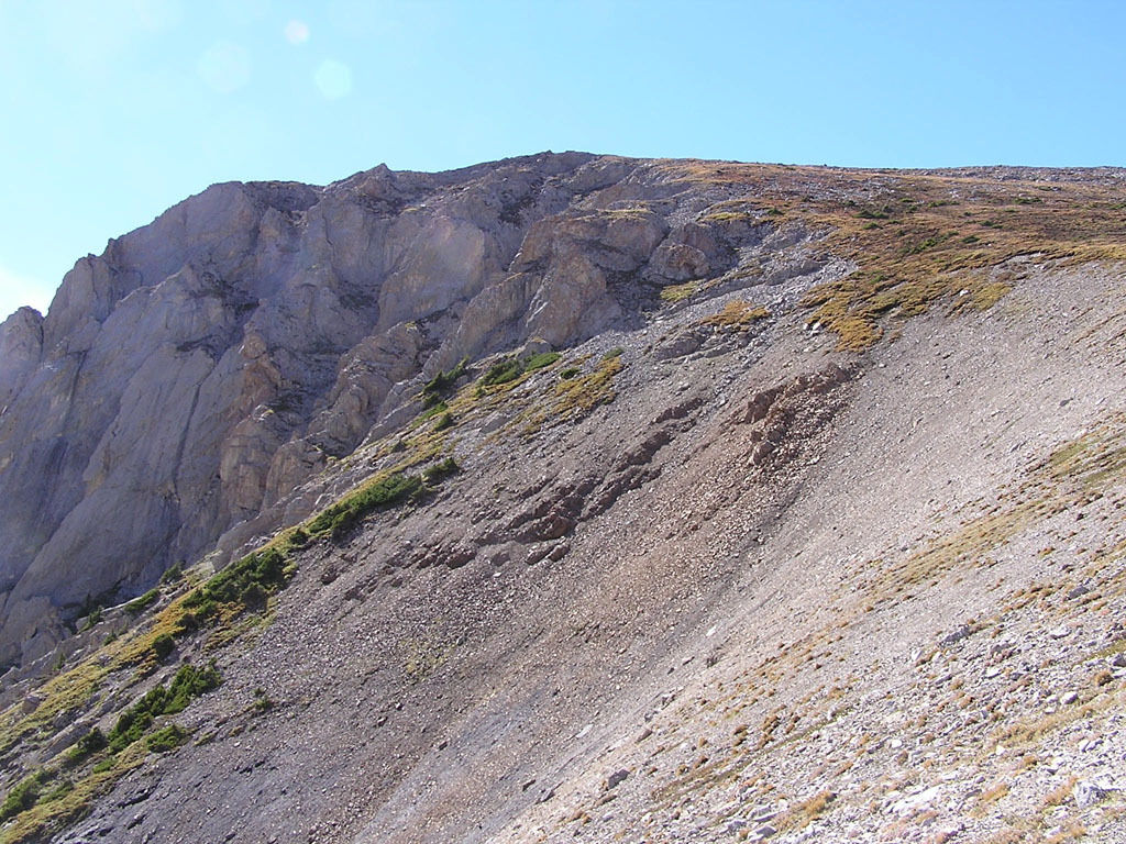
R: View to the south.
After soaking in the views for about 30 minutes, we finally started our descent using a different trail which stayed high up on the peak until the very end. We must have observed at least 3 or 4 different variations of the trail but they all seemed to converge just above the first rockband. To celebrate Jason's first scramble, we ended up driving into Kananaskis village for a beer and burger at Woody's. A nice way to end a short day out in the mountains. :) |