
 |
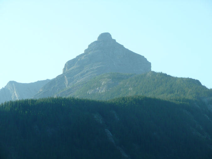
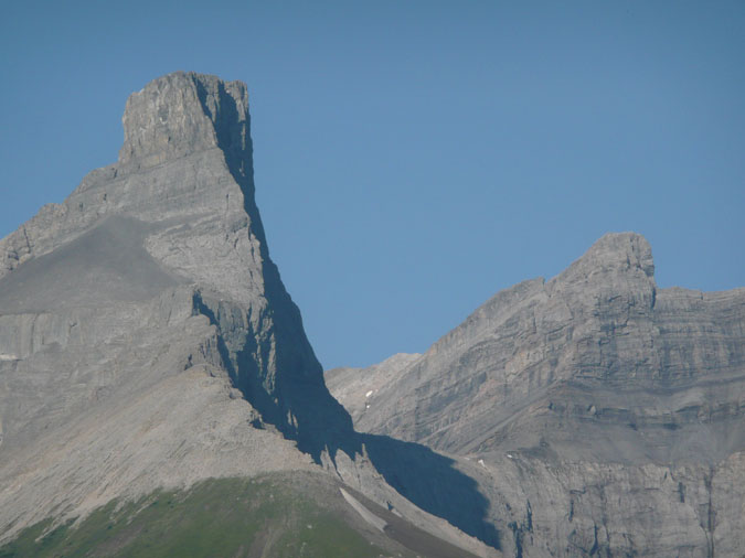
Opal Ridge is a prominent ridge which stretches from an area just south of the Wedge (near the Galatea parking lot) to Grizzly peak along highway 40. It's most prominent feature is the north summit as seen to the image on the left. It's inclusion as a peak in the Scrambles book has also made it a popular destination for a short day out. It's an interesting looking feature which is a lot easier and closer than it looks. However, it also happens to be guarded by a slope which is both loose and steep. My partner for this weekday scramble was my regular partner Kazumi. |
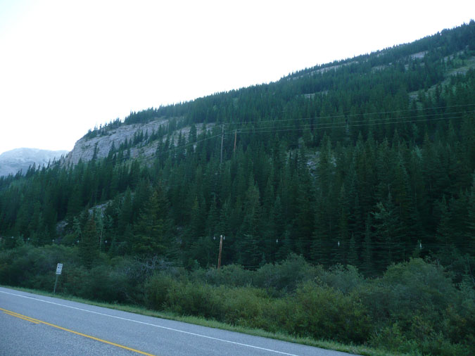 |
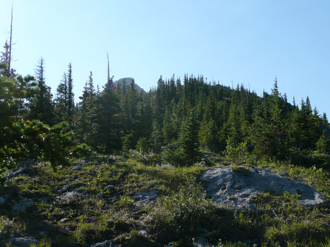
Here's a shot of the ridge from the road. From here, we decided to enter the forest from a point just left of the highway sign. We would then bushwhack and scramble up a pretty heinous slope until we got to the ridge. The alternative would have been to gain the ridge from its lowest point on the left. However, doing so would have added some considerable distance through some heavy forest. |
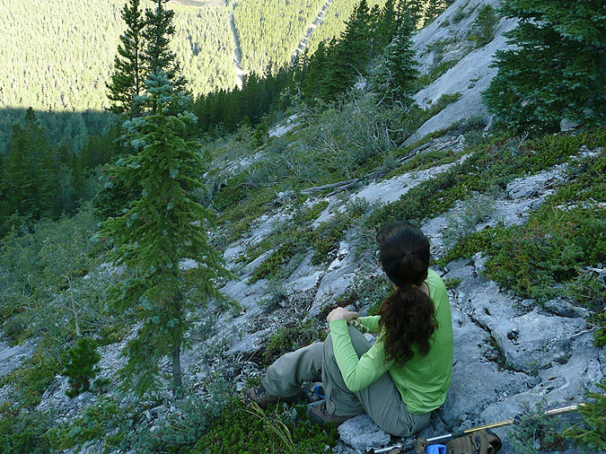 |
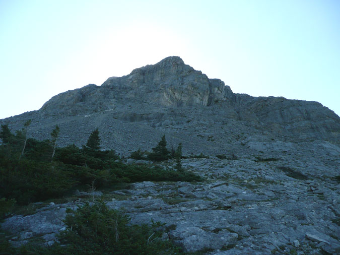
I noticed that most of the trip reports on this peak fail to show a picture of the ascent slope. It's no surprise because there's hardly any flat spot until you reach the ridge! Here's the typical terrain to the ridge. If it wasn't loose gravel, it was smooth slab. Not something you want to climb when wet or snowy. |
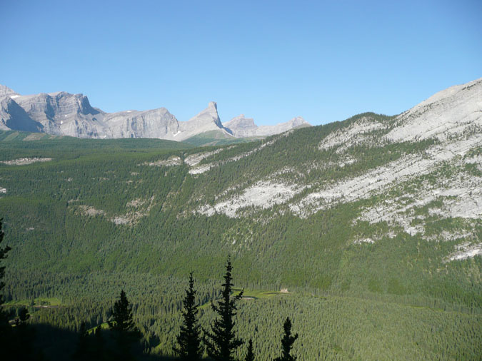 |
Here's a great view of the mountains along the Smith Dorian corridor to the west. The peak at the center is the Fortress. |
 |
Here's a close up of the Fortress. The peak to the right is Gusty Peak which is accessed by the same col. Of course the normal route for both peaks is from the Smith Dorian highway. |
 |
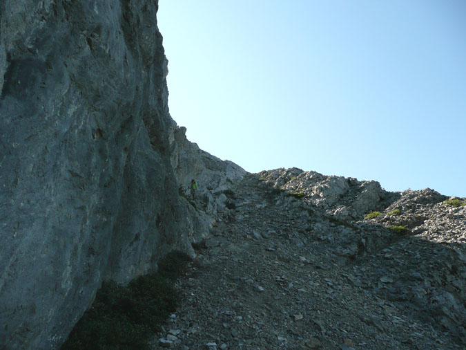
Here's our first glance of the summit block from the ridge. There were some faint traces of a trail along the ridge but this was the typical terrain to the top. Not exactly an easy hike but after the terrain we had to negotiate to get here, this was like a highway! |
 |
The summit block sure looks different from up here. A well used trail was cut into the scree which made routefinding unnecessary. |
 |
Walking along the edge of the summit block eliminated most of the loose scree. It took approximately 15 minutes from the base of the block to the summit. |
|
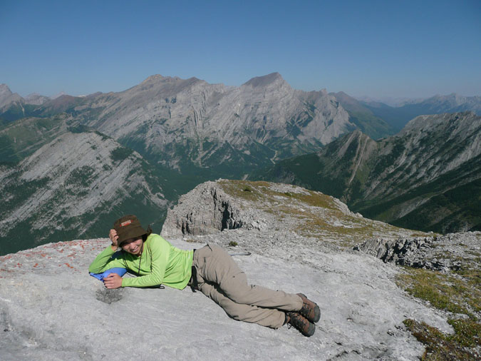 |
Here's Kazumi doing her impression of a Playboy model on the summit. Mt. Kidd can be seen in the far distance. If it weren't for the steep scramble to the ridge, this would've been one of my favorite short scrambles to date. However, in the meantime, I don't think I'll be coming back unless I plan on traversing the entire ridge. |