
 |
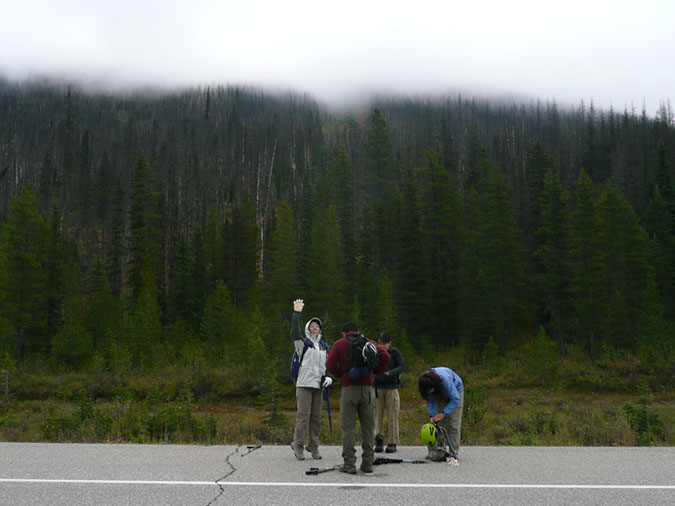
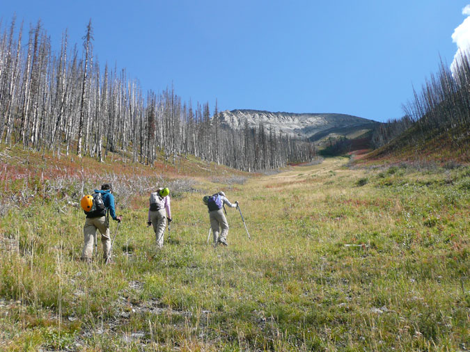
Vermillion peak is a mountain located in Kootenay National park just west of the Continental divide. I attempted to climb this peak back in 2005 with my partner Rie but we took a wrong ascent gully up and ended up returning to our car to do Burstall instead. This time, I actually took some time to read the guidebook. The weather wasn't perfect but the cloud ceiling was barely enough to show us a glimpse of the proper ascent gully. My partners for the day were Toru, Kazumi, Akie and Miki. Here we are gearing up at the side of the road. The gully can be seen at the middle. |
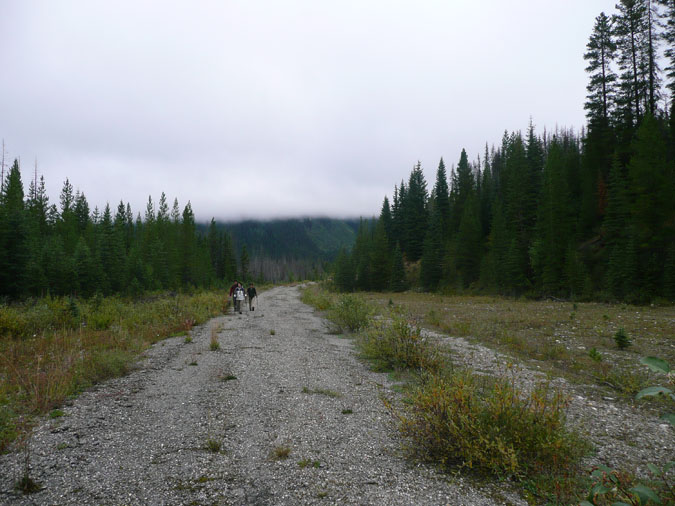 |
After a quick 10 min bushwhack from the car, we were greeted by an overgrown road which quickly led us to the ascent gully. |
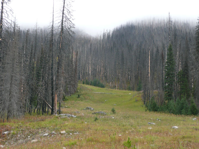 |
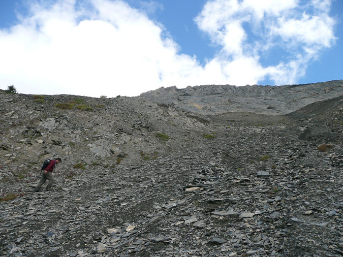
Here's the ascent gully. The terrain consisted of grass near the bottom which eventually gave way to shattered rock at top. A steep but pleasant route up. |
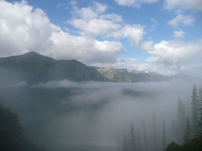 |
The route up was very straightforward with just a pair of rock bands to slow us down. The second rock band was a little tougher than the first but nothing beyond the capabilities of a moderate scrambler. Here's the upper cloudline. |
 |
The clouds eventually burned off and gave way to beautiful blue skies. The summit block can be seen in the far distance. It definitely looked a lot closer than it really was. |
 |
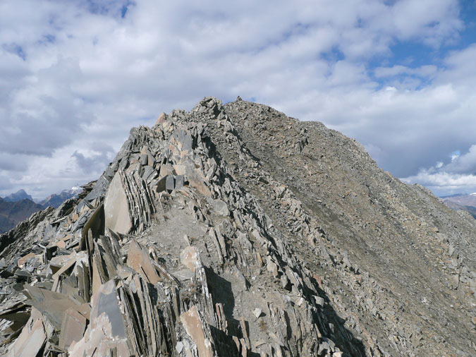
Our group ended up going almost to the end - which was a waste of time and elevation since we had to descend to the right to gain the ridge. It would have been a lot easier to traverse the grassy slopes lower down since the terrain up here consisted of scree and shattered rock. |
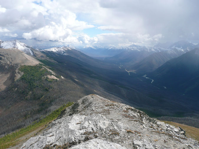 |
Toru and I decided to scramble up the side to gain the ridge while the girls went to the end to scramble up an easier section. Here's a look down the ridge. Highway 93 can be seen to the right as it snakes its way towards Radium. I had fond memories of this area since I cycled this stretch of road last year.
|
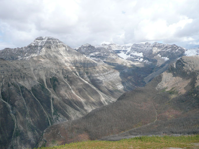 |
Here's Stanley peak to the left and Mt. Ball to the right. These are both in the Scrambles book and are obviously very long! I'll save these two for later... much later... |
|
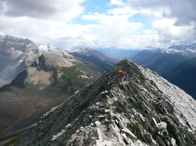 |
Once the girls arrived, it was time to tackle the final ridge. The ridge was a little trickier than I expected but at least it was completely dry. |
|
 |
Here's a look at the final section to the summit. |
|
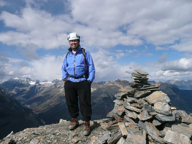 |
Here's a very rare picture of myself standing at the summit. Unfortunately, I forgot to bring my spare register with me... and of course with my luck, the cairn failed to contain a register. |
|
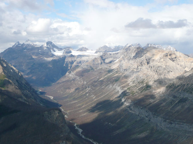 |
Most of the 10 peaks in the Moraine Lake area can be seen from the summit. Our original plan from a month ago was to climb Mt. Temple - which can be seen at the center in the clouds. After observing all of that snow, we were convinced that we made the right decision. |
|
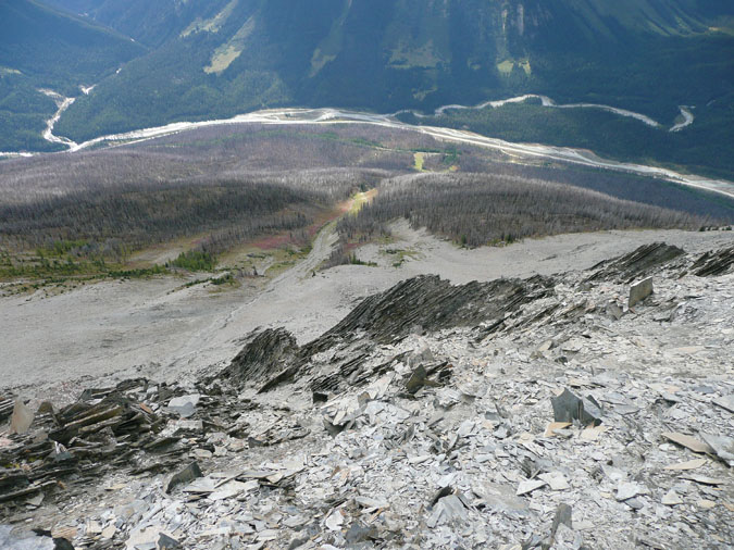 |
Here's a perfect view of the route from car to summit. As you can see, it's pretty much impossible to get lost or off track. |